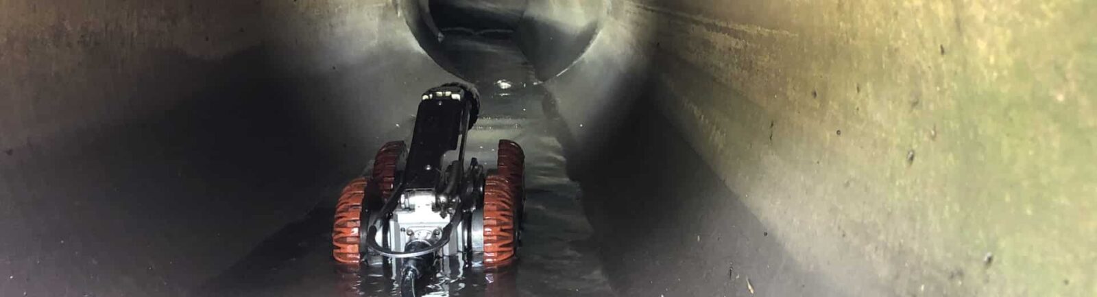
CCTV Drainage Survey
What’s in a CCTV drainage survey?
Our dedicated teams are ready to perform a detailed CCTV drainage survey, providing you with an in-depth visual inspection and a comprehensive condition report, along with valuable survey data.
Using innovative remote visual inspection (RVI) technology, our CCTV surveys for drains offer you high-definition imagery of subterranean conditions—whether underground, underwater, or within pipework, voids, and confined spaces.
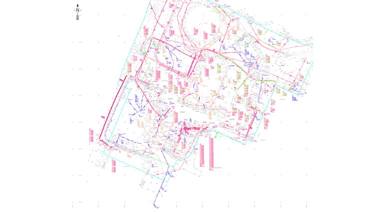
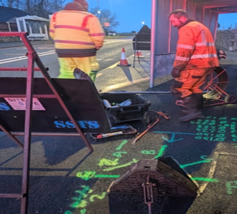
Our thorough drain survey process includes the manual lifting of every inspection chamber or manhole cover, with our experts finding the chambers as needed. We accurately document the invert depth, measure the pipe diameter, checking the lining of the drain, and assess the type of drainage system, including the construction of each chamber. All findings are then overlaid onto the topographical survey of your site, ensuring all risks are clearly shown and categorized.
What you receive
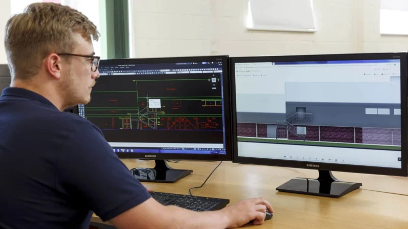
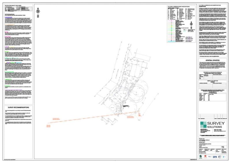
We code every pipe run to MSCC5, the water industry standard for sewer condition, in WinCan VX. Each report goes through a three-stage check before it’s issued, ending with a senior surveyor’s sign-off. You get the WinCan report and a PDF, with the drainage overlaid on your topographical survey in CAD. We often combine it with a PAS 128 utility survey, or we can work to an existing site survey.
Why do building drains need CCTV drainage inspection?
Designers, contractors and water companies use our surveys to see what’s really underground before they design, build or adopt. We record each pipe’s size, material, depth and condition, and code every defect, from cracks and displaced joints to root ingress. That shows what can be reused, what needs repair and where the risks are, before work starts on site.
Connectivity, outfalls and misconnections
Drainage records often don’t match what’s in the ground. We trace each run with a sonde to confirm where it goes and what it connects to, and we map outfalls to watercourses and sewers. That gives designers a drainage network they can rely on.
We also investigate misconnections, where foul water runs into a surface water system or the other way round. We find the source and record it, so the right connection can be made. Where a pipe is blocked or silted, we can jet it so the camera can finish the survey.