Coastal, Rivers, Canals and Waterways
Hydrographic and structural surveys for rivers, canals and coast
Survey Solutions delivers river and canal surveys, plus coastal and harbour surveys, for the people who design and look after waterway assets. We capture what sits above and below the waterline, so your engineers have data they can design from.
Our hydrographic survey team is in-house. It is a capability we own, not one we bring in for each job. That means one team, one method and one point of contact from the bank to the river bed.
Our hydrographic work on the River Trent and the River Nene is published, and we have monitored a historic boathouse at Lake Windermere throughout piling works.
River and canal surveys for design and maintenance
Rivers, canals and coastal assets need accurate channel and structural data before any work can be designed. We provide:
- Bathymetry: Depth and shape of the river or canal bed.
- Channel cross-sections: Regular sections along a reach, ready for flood and hydraulic models.
- Bed levels and silt: Where sediment has built up, and how much.
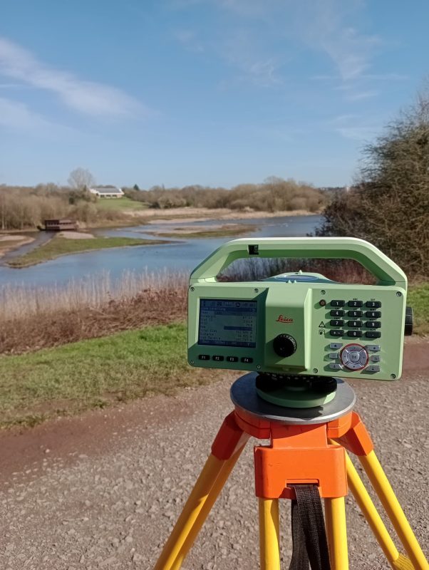
- Banks, weirs, locks and structures: Topographic survey of everything above the water.
- Tidal and coastal survey: Harbours, sea defences and tidal reaches.
Proven on the River Trent and the River Nene
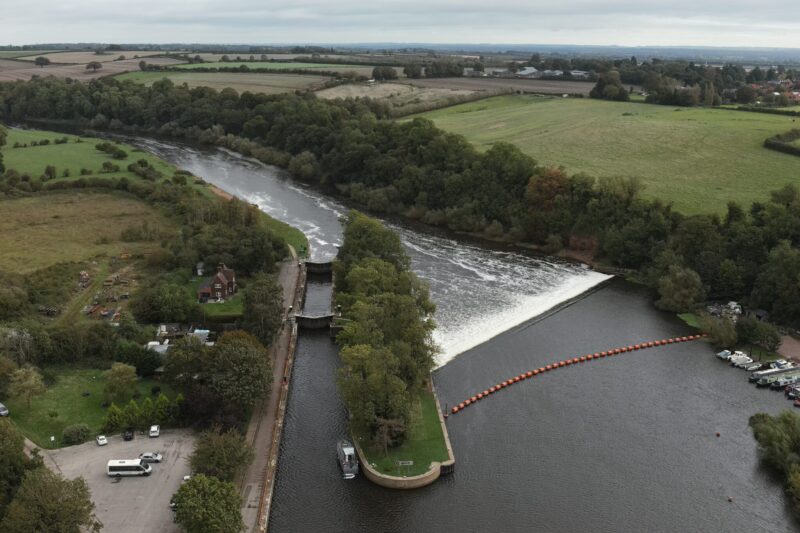
Our river survey work on the Trent and the Nene is published. At Alwalton Lock on the River Nene, we surveyed for Jackson Civil Engineering on behalf of the Environment Agency. The data supported design and modelling for possible channel narrowing after a silt and sediment assessment.
On the River Trent, our high-resolution survey supported the Grand Union Canal Transfer. It combined terrain, bathymetric and ecological data to help plan water security.
Structural Monitoring
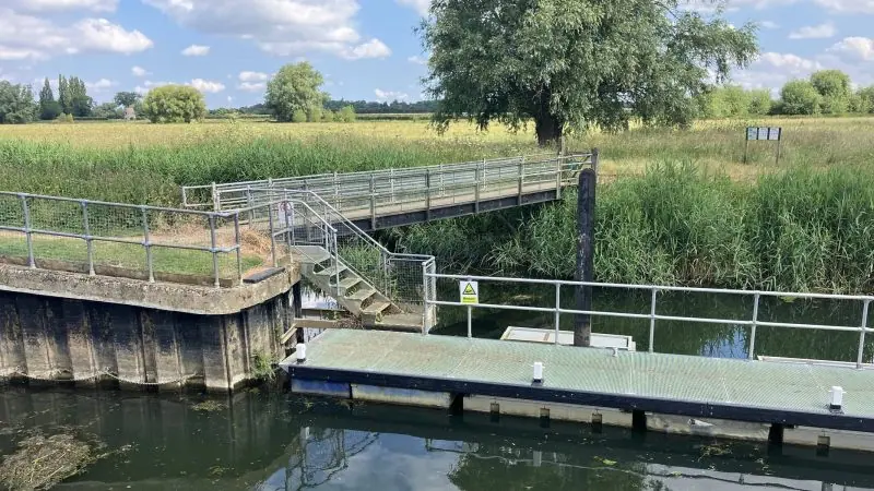
At Lake Windermere the survey became structural monitoring during piling, because waterside structures often need watching for longer than the works themselves last.
Coastal, Rivers, Canals and Waterways FAQ’s
No. The environmental work is statutory compliance monitoring, while this is hydrographic and structural survey capability, so they are related rivers but a different service.
It measures the depth and shape of the channel bed, plus the banks and structures beside it. The result is bathymetry, cross-sections and bed levels. Engineers use this data to design flood schemes, dredging, bank repairs and new structures.
Yes. We monitor boathouses, walls, weirs and other waterside structures against the engineer’s limits. You get regular reports and alerts, so the contractor can prove the works did no harm.
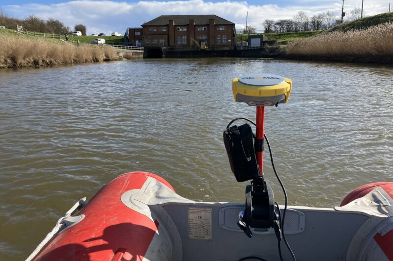
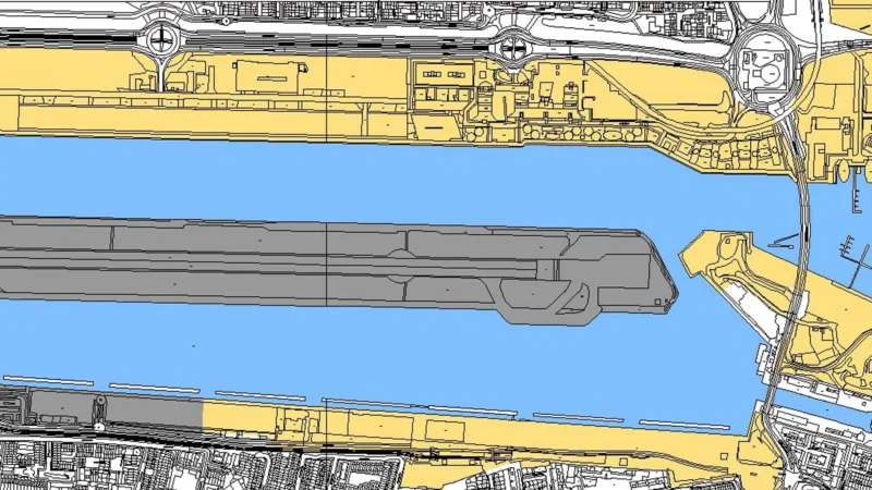
Yes. We survey tidal reaches, harbours and coastal assets. On the Hobhole Bank project, we combined land, building and tidal hydrographic surveys to support the design of a new pumping station.
Send us the reach or site extents, the outputs you need (cross-sections, bathymetry, 3D model) and any access limits. Water levels, navigation, permits and protected habitats are useful to know early. We will then plan the safest, most efficient method.