River Nene Survey at Alwalton Lock
Published on by Toni Abrahams

Survey Solutions was commissioned by Jackson Civil Engineering to carry out a detailed river corridor survey of the River Nene at Alwalton Lock. The project was undertaken to provide the Environment Agency with accurate design and modelling information for the potential narrowing of the channel downstream of Alwalton Lock, following an external assessment into silt and sediment issues.
The scope of works included a survey of the River Nene’s main channel, banks and floodplain, along with all river crossing structures within the survey corridor, including bridges, culverts, footbridges and weirs. The data was required to support modelling of the proposed channel narrowing works and to update the existing River Nene strategic flood risk model.
The Challenge
The project presented several practical and environmental challenges. Working in and around the river required careful planning, competent water safety-trained surveyors and appropriate PPE. All surveyors involved in the works had completed Rescue 3 Europe Safe Working in Water training, with safety boots, life jackets, dry suits, buoyancy aids used as required throughout the project.
Access and egress to the River Nene was one of the main challenges. Dense vegetation and structures along the riverbank made it difficult to identify a suitable location for launching and recovering the small inflatable boat and motor used for in-channel survey work. Vegetation also obstructed some proposed cross-section locations, meaning the team had to make informed decisions on site and adjust certain survey locations slightly to allow full cross-sections to be captured.
A further challenge arose on the Nene3 channel, where one of the weirs could not be surveyed using a Trimble S5 total station due to dense vegetation restricting access. To maintain safe working and achieve full coverage of the structure, Survey Solutions adapted the methodology and captured the required data using a Trimble R12i GPS.
Our Approach
Survey Solutions delivered the survey using a combination of GPS, total station and specialist hydrographic processing techniques. Cross-section points within the river channel were captured by water safety-trained surveyors operating from a small inflatable boat using Trimble R12i GPS equipment.
The bankside data was collected using a combination of data from Trimble R12i GPS and Trimble S5 total stations, depending on the site conditions and the level of accuracy required.
Detailed survey data for structures, including bridges and weirs, was captured using a total station wherever possible to provide high-accuracy results. Top of bank points were measured using handheld Trimble R12i GPS, giving the project team a consistent and reliable dataset across the river corridor.
Where total station access was restricted, the Trimble R12i GPS advanced GNSS performance and tilt compensation capability enabled the team to work efficiently in difficult access areas, including locations affected by dense vegetation and uneven riverbank conditions. It provided a practical and safe alternative while still delivering the coverage required for the Environment Agency’s modelling outputs.
Once the fieldwork was complete, the final data was processed. Cross-sections were then produced using specialist hydrographic survey software, before all drawings were finalised in BricsCAD. This workflow ensured that the final deliverables were suitable for the Environment Agency’s modelling and design requirements.
The Outcome
Survey Solutions successfully delivered a comprehensive package of survey information to support the proposed channel narrowing works and the update of the River Nene strategic flood risk model.
Despite challenging access, dense vegetation and the complexities of working safely in a river environment, the survey was successfully completed. The client received a 3D topographic survey, cross-section drawings, flood modeller hard and soft bed data and a record of all top bank points.
The river corridor was divided into five reaches. For each reach, a CSV photo schedule, photographs, EACSD certification, XYZ data for hard bed and soft bed cross-section points, and text files containing cross-section EACSD output were provided.
The final dataset gave Jackson Civil Engineering and the Environment Agency the accurate, up-to-date information needed to progress hydraulic modelling, assess the proposed channel narrowing works and support informed flood risk management decisions for the River Nene.
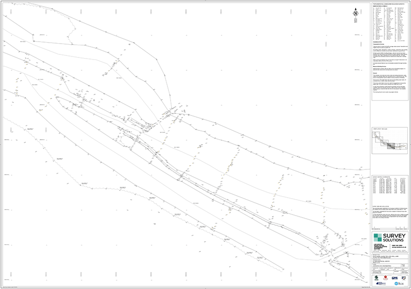
Survey Drawing of the River Nene