Land Surveying
Commissioning a land survey is a vital start to a broad spectrum of projects – and it needs to be conducted quickly, accurately and to deliver as much data as possible to inform the next step.
At Survey Solutions, we have extensive experience of carrying out geomatic surveys, across a range of sectors and for all sizes of project. Harnessing the latest survey technology means we can deliver data quickly, in detail and in different formats.
With our ‘toolbox’ approach, we will advise on the most effective way to achieve your objectives, assessing all relevant factors before starting work.
Our team will then conduct the survey, capturing accurate and detailed data delivered in the optimum format for your project – and providing you with the highest quality output for which we have become known in the industry.
Land Surveying Services
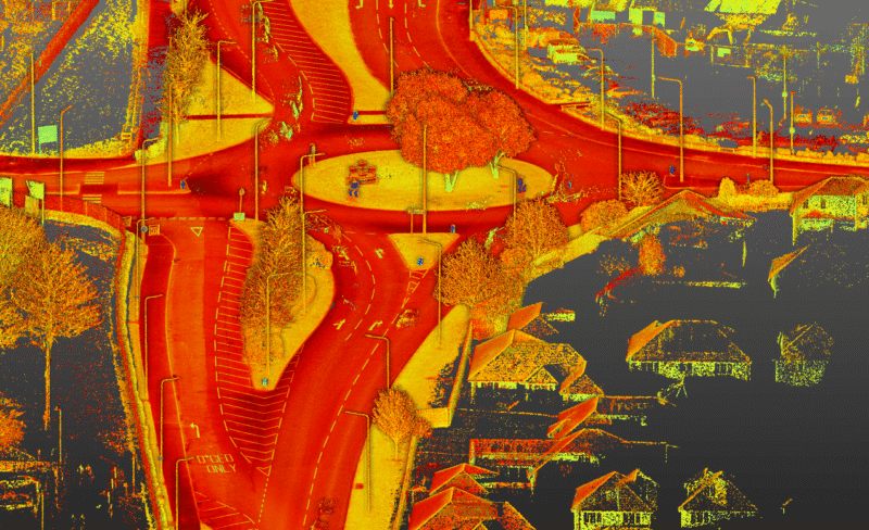
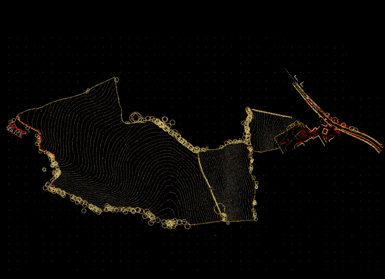
LiDAR Survey
Discover High-precision LiDAR surveys from Survey Solutions for construction and infrastructure projects. Fast, accurate, and UK-wide.
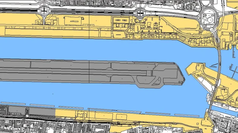
View service detailsMobile Mapping
Our mobile mapping surveys can cover up to 20km in one day. Each survey can provide various data formats and survey information.
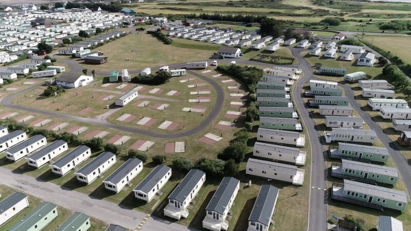
View service detailsTopographic Survey
Our topographic survey gives you a detailed accurate representation of your site’s physical terrain and hard and soft features above ground.
View service details
Land Surveying FAQ’s
Land surveying captures accurate positional data about your site so designers and contractors can plan, coordinate and build with confidence—reducing risk, rework and delays.
Our land surveying work commonly includes topographic surveys, LiDAR surveys, mobile mapping and drone surveys to cover large areas quickly. We select our services based on site size, access and the level of detail you need.
Topographic surveys map terrain and features in detail; LiDAR captures dense point-cloud data quickly; mobile mapping is ideal for longer corridors (for example highways or large routes) where rapid capture is critical.
Depending on your brief, we can supply survey drawings and digital survey data in formats that suit your design and construction workflow.
Timescales depend on site size, complexity and access. Our UK wide team can respond rapidly and attend your site quickly. Once we understand your scope and deadlines, we’ll confirm a practical site and delivery programme.
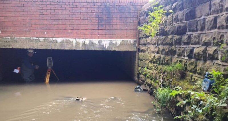
Yes, land surveys are often coordinated with underground utilities, measured building surveys, drone capture or hydrographic work to give you a joined-up dataset.