Utility Feasibility Studies
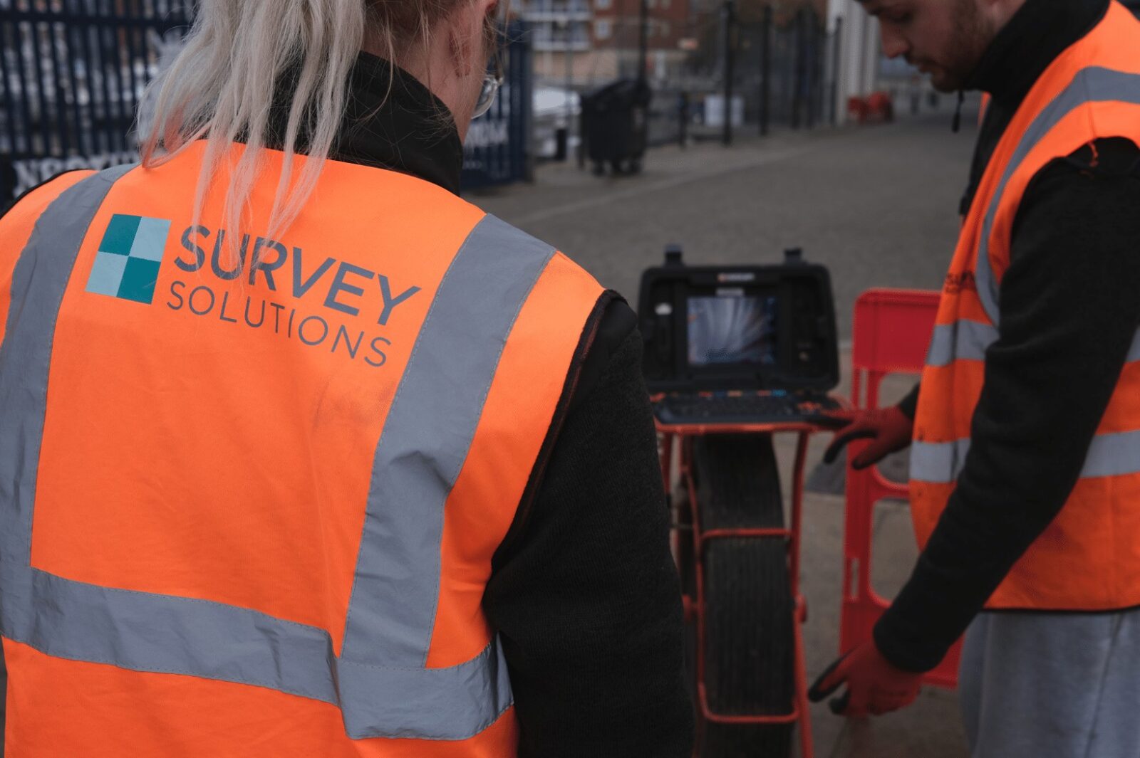
Survey Solutions provides utility feasibility studies that help project teams understand buried service constraints before design, route selection, excavation, piling, diversion works or construction begins. By combining statutory utility records, existing drawings, PAS 128 utility survey capability, GPR, electromagnetic detection, CCTV drainage, topographical survey data and CAD outputs, we help clients identify where underground services may affect project decisions.
A utility feasibility study is often the first step in reducing uncertainty below ground. It helps project teams understand what information already exists, where risk is likely to be highest, what further survey work is needed and how utility constraints could affect design or delivery.
Whether you are planning a development, infrastructure scheme, route corridor, utility diversion, highways project, energy connection or site investigation, Survey Solutions gives you clear, practical information before intrusive works or detailed design decisions are made.
Why utility feasibility matters
Buried services can affect design, safety, cost, programme and constructability. Electricity, gas, water, drainage, sewers, telecoms, fibre, lighting, heating and signalling infrastructure may all be present below ground, often with incomplete or inconsistent record information.
A utility feasibility study helps project teams:
- Understand known underground service constraints
- Identify gaps or conflicts in existing utility records
- Plan the right level of PAS 128 survey work
- Reduce the risk of service strikes
- Support safer excavation, piling and ground investigation planning
- Inform route selection and design optioneering
- Identify potential diversion constraints early
- Coordinate below-ground data with topographical survey information
- Reduce uncertainty before committing to detailed design or intrusive works
The earlier utility risk is understood, the easier it is to manage.
What a utility feasibility study can include
A utility feasibility study can be tailored to the project stage and level of risk. It can include:
- Statutory utility record search
- Review of existing service drawings
- Utility constraints plan
- PAS 128 survey scope recommendation
- GPR and electromagnetic detection input
- CAT survey input where appropriate
- Topographical survey base plan
- CCTV drainage survey information
- Utility composite drawings
- Service conflict commentary
- Risk and data gap summary
- Recommendations for trial holes or further investigation
- CAD outputs for designers and engineers
The purpose is to turn fragmented utility information into a clearer, more usable picture of below-ground risk.
Our utility feasibility approach
1. Understand the project and risk
We review the project brief, location, design stage, proposed works, excavation requirements and known utility concerns.
2. Review existing records
We assess available statutory records, client drawings, historic surveys and other existing information to understand what is known and where uncertainty remains.
3. Identify constraints and data gaps
We highlight potential utility conflicts, missing information, high-risk areas and locations where further survey work is likely to be needed.
4. Recommend the right survey scope
We advise whether the next step should include PAS 128 utility survey, GPR, electromagnetic detection, CAT scanning, CCTV drainage, trial holes, topographical survey or a combined package.
5. Deliver clear utility feasibility outputs
We provide drawings, plans, reports or data summaries that help designers, engineers, contractors and project managers make informed decisions.
Why choose Survey Solutions for utility feasibility studies?
Survey Solutions has specialist underground and utility survey teams across the UK, with experience supporting construction, infrastructure, transport, energy, commercial and public-sector projects.
Clients choose us because we provide:
- PAS 128 utility survey capability
- Statutory utility record search support
- GPR and electromagnetic detection expertise
- CCTV drainage and underground investigation capability
- Topographical survey integration
- CAD and utility composite deliverables
- Multi-service feasibility support across sites, routes and infrastructure projects
- Practical guidance on the right level of survey input before design or excavation
We help project teams identify underground constraints early and make better-informed decisions before risk becomes expensive.