Geophysical Survey
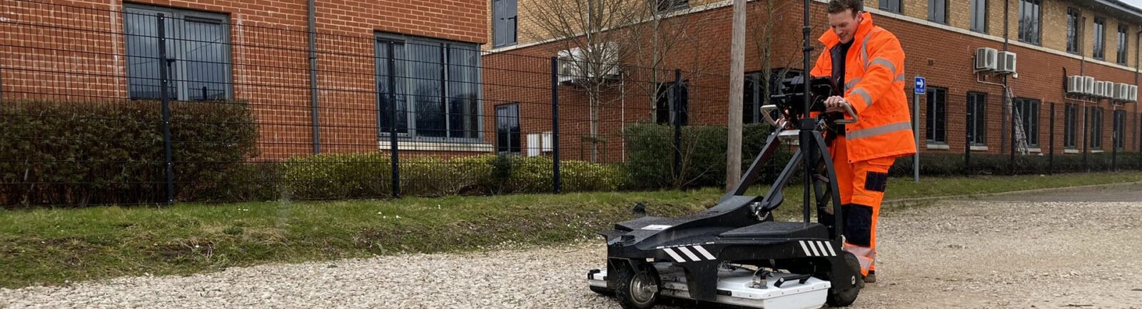
Our GPR surveys use non-invasive, high-capacity data-capturing instruments. This method enables us to collect extensive data while minimising both the time spent on-site and disturbances to the surrounding environment.
Can a GPR survey reduce project risk?
By identifying and addressing hidden health and safety hazards during the design and planning phases of your project, we can significantly reduce the risk of incurring remediation costs later in the construction process. Understanding the site’s constraints early can lead to substantial savings if potential hazards arise later in the construction timeline.
Our GPR surveys align with our other services, which include topographical surveys, LiDAR, mobile mapping, buried utilities detection, CCTV drainage condition assessments, and hydrographical (bathymetric) surveys.
How can a GPR survey benefit my project?
A GPR survey can provide valuable data for a variety of projects. Frequently used for road construction investigations, mapping post-tension cables, detecting voids and sinkholes, exploring mine workings, and determining the depth to bedrock.
Our detection methods can identify foundations, buried obstructions, underground storage tanks (USTs), fuel tanks, cellars, air raid shelters, piles, and tie rods. When combined with reinforcement bar (rebar) mapping, High-frequency Concrete analysis, and Bridge Deck analysis, a GPR survey can enhance your project’s planning and execution.
Our recent GPR surveys
We completed work at an NHS Hospital where a large watermain had ruptured beneath a car park. We excavated the ground and repaired the watermain, but due to the volumes of water lost we checked for more damage. The Estates Department were concerned that the fines might have been washed away leaving the potential for voids beneath the existing car park surfacing. As the car park was in daily use for traffic and a large mobile MRI scanner any voids posed a risk of collapse. Our GPR survey provided a full understanding of the site condition, and any action needed.
Another recent project saw our team commissioned for large brownfield site in South Wales. We scanned where buildings had been demolished to ground level, and our multi-array ground penetrating radar technology mapped and found the extent of historic foundations not removed during the initial demolition.