Hydrographic Survey
Hydrographic surveys (bathymetric surveys) are an extension of our land surveying service.
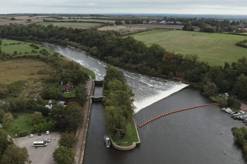
Providing an accurate and detailed plan of all features below the water’s surface. This type of survey is suitable for lakes, rivers, harbours, broads, reservoirs and water treatment plants up to a depth of ten metres.
We use a hydrographic survey to calculate the depth of the water body and measure the ground below the water. This data is translated into a Digital Terrain Model (DTM), detailing the contours of the land below the water. Sometimes called a bathymetric survey, it’s used before proceeding with dredging, building a new bridge, or directional drilling to put in place new services.
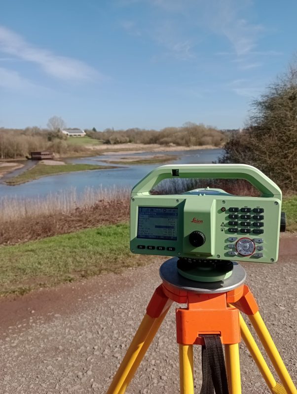
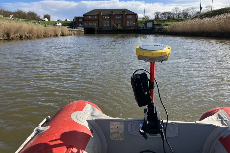
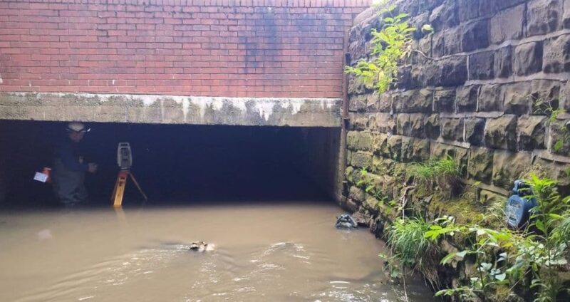
The hydrographic survey employs a lightweight, remote-controlled surveying boat fitted with GPS and echo sounders. Points are recorded at set distances, and this survey type is suitable water environments up to ten metres deep. In areas without stable GPS, a robotic total station and 360° prism is used to provide the survey data. Our surveyors undertaking the survey are Rescue 3 qualified.
This type of survey has clear safety advantages and efficiency benefits. It can be completed as a stand-alone project or as an extension to a topographical project allowing all information above and below the water to be integrated into one study.
Are there other uses for a Hydrographic survey?
This type of survey is useful for space calculation, for example relocating silt into an on-site lake. We have some of our bathymetric survey case studies below.
Hydrographic Survey FAQ’s
A hydrographic survey maps features below the water’s surface, measuring water depth and the ground below to build an accurate model for design and planning.
Hydrographic surveys are suitable for lakes, rivers, harbours, broads, reservoirs and water treatment plants—typically up to 10 metres depth.
Surveys use a lightweight remote-controlled boat fitted with GPS and echo sounders. Where GPS isn’t stable, a robotic total station and prism can be used.
Data is translated into a Digital Terrain Model (DTM) showing underwater contours, and can be integrated with topographic data for an above-and-below-water dataset.
Common uses include planning dredging, bridge works, and directional drilling for new services, where reliable depth and bed information reduces design risk.
Hydrographic work reduces the need for people in the water and is typically safer and more efficient. Survey Solutions’ hydrographic surveyors are Rescue 3 qualified.