Drone Surveys
How can Drone Surveys help my project?
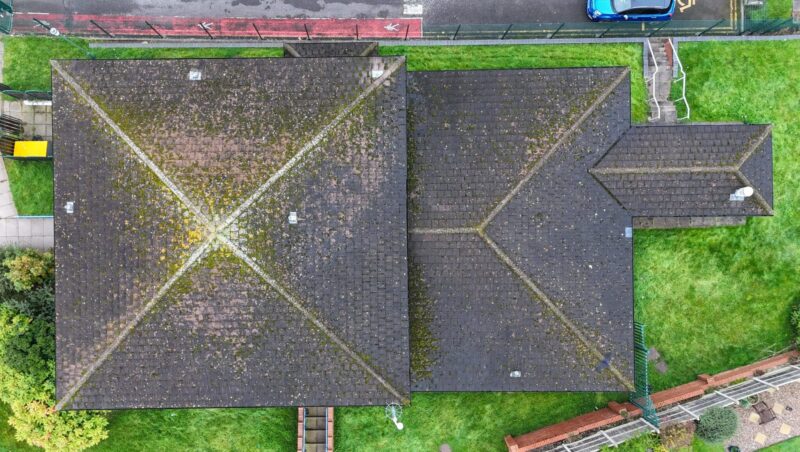
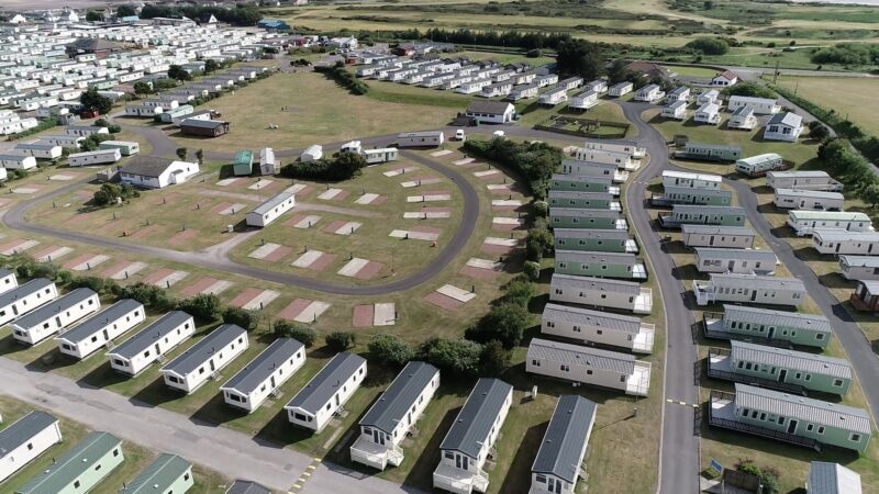
When you work with Survey Solutions, you will have access to a range of surveying tools and technology, which meet your individual project requirements. Drone Surveys are becoming an ever-increasing solution for both land and measured building projects. From holiday parks through to domestic roof inspections, we offer Drone Surveys across a range of projects.
The use of drone technology can deliver survey data in a faster, safer and more accessible manner than other types of survey.
Drone Pilots
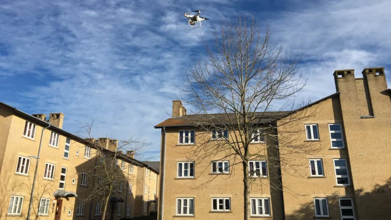
We have our own in-house team of qualified drone pilots available across the UK meaning we can be on site quickly.
Equipped with the latest in drone survey tech, this team have completed multi-site projects as part of a national survey programme travelling the length and breadth of the country to provide our client with a range of survey data and add-on footage.
Our drone pilots are all fully compliant with the Civil Aviation Authority regulations for Remotely Piloted Aircraft Systems.
Surveying drones can deliver a vast range of survey data from typical 2D and 3D site plans through to point clouds, ortho-rectified photography and video fly overs. Our team is always on hand to discuss the best data options for your project.
To find out more about our Drone Surveying Services, please complete the enquiry form below to contact our drone team who will be able to discuss with you in more detail and outline the various options available to you.
Drone Survey Services
Drones for Buildings
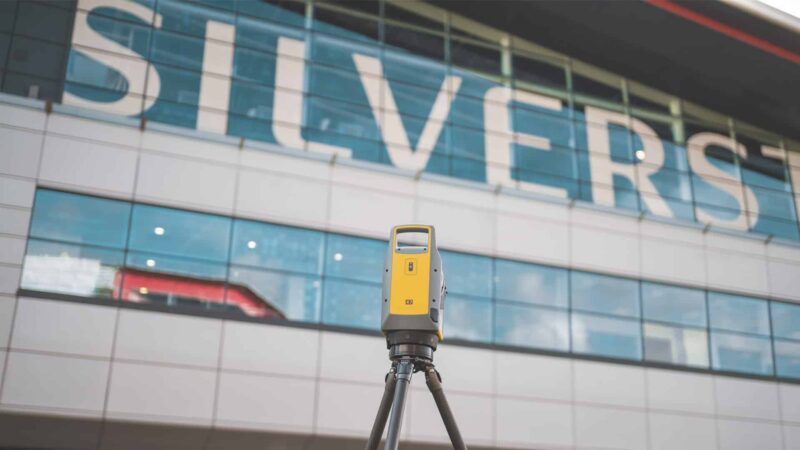
Survey Solutions uses drones for buildings by using fly over video for measured building data available in 2D and 3D formats.
Read moreDrones for Land
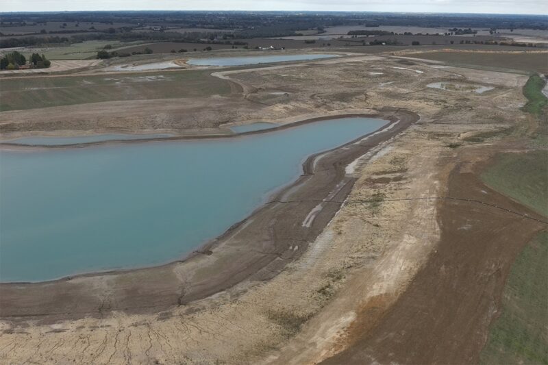
Drones for land surveying are a cost-effective solution for projects such as quarries, landfills, or large-scale development.
Read more
