Land and Utility Surveyors in Ipswich
Survey Solutions’ Ipswich office supports projects across Ipswich, Suffolk, North Essex, East Anglia and the surrounding region. Our local team provides land surveys, measured building surveys, underground utility surveys, drone surveys, monitoring and site engineering support for developers, contractors, engineers, architects, utilities and public-sector clients. Whether you are planning a residential scheme, upgrading infrastructure, working on a heritage asset or managing a live commercial site, we provide accurate survey data to support confident design and delivery.
Survey services from our Ipswich office
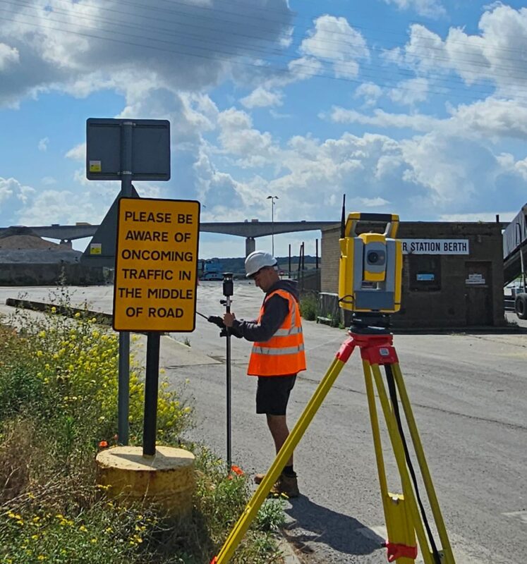
Our Ipswich team provides a full range of survey services for projects across Suffolk and East Anglia. These include topographical surveys, measured building surveys, underground utility surveys, UAV/drone surveys, laser scanning, monitoring and site engineering. Each survey is scoped to match the project stage, site conditions and required deliverables, giving clients clear and usable information for planning, design, construction or asset management.
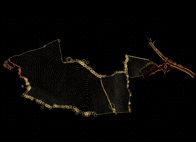
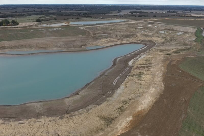
Topographical surveys for Suffolk and East Anglia sites
Topographical surveys capture accurate information about site levels, boundaries, physical features, vegetation, drainage, access, structures and surrounding context. Our Ipswich surveyors can support residential developments, infrastructure schemes, rural sites, commercial estates, public-sector projects and coastal or environmental locations across Suffolk, North Essex and East Anglia. This information gives design and engineering teams a reliable foundation before key project decisions are made.
Measured building surveys for refurbishment and estate management
Measured building surveys help clients understand existing buildings before refurbishment, extension, redevelopment, conservation, fit-out or estate management work. Our Ipswich team can provide floor plans, elevations, sections, roof plans, point-cloud data and 3D outputs depending on the requirements. These surveys are useful for schools, healthcare buildings, commercial properties, heritage assets, residential buildings and public-sector estates.
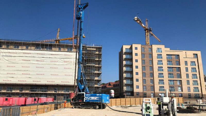
Underground utility surveys for infrastructure and development projects
Before excavation, drainage design, service diversions, highways work or redevelopment, buried utility information is essential. Our Ipswich office can provide underground utility surveys to help identify and map services such as drainage, water, electricity, gas and telecoms. Where required, survey scopes can be aligned with PAS 128 to support clearer risk management and safer site planning.
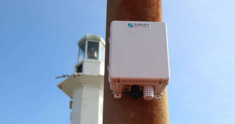
Drone, monitoring and site engineering services
Our Ipswich team can provide UAV/drone surveys, monitoring and site engineering support where projects require aerial data, repeat observations or construction-stage survey input. Drone surveys can be useful for large, rural, coastal or difficult-to-access sites, while monitoring and site engineering can support infrastructure, construction and asset-management programmes. These services help clients maintain reliable survey information throughout the project lifecycle.
Supporting projects across Suffolk, North Essex and East Anglia
Ipswich and the wider East Anglia region include a wide mix of residential growth, infrastructure upgrades, energy projects, rural estates, heritage sites, ports, coastal environments and public-sector assets. Our local team can support projects across these varied settings, helping clients define the right survey methodology and deliverables for each site. Regional understanding is particularly valuable where access, utilities, environmental constraints or programme deadlines need careful planning.
Survey support for infrastructure, waste, residential and heritage sites
Survey requirements differ from one site type to another. Infrastructure and utilities projects may need detailed topographical and utility information, heritage assets may require accurate measured building data, residential developments may need early-stage land surveys, and public-sector estates may need clear outputs for multiple stakeholders. Our Ipswich team can tailor the survey approach so that the information produced is relevant, accurate and practical.
What survey deliverables can our Ipswich team provide?
Depending on the agreed scope, our deliverables can include 2D CAD drawings, 3D models, point-cloud data, measured building outputs, utility survey drawings, monitoring reports, drone survey outputs and site engineering information. We will confirm required formats, level of detail, coordinate systems and issue dates at the start so that your project team receives information that can be used efficiently.
How can early survey data reduce risk on East Anglia projects?
Early survey data helps project teams identify constraints before they affect design, budget or programme. Site levels, buried services, existing building dimensions, drainage, access and boundary information can all influence planning and construction decisions. By commissioning the right survey at the right stage, clients can reduce assumptions, improve coordination and support safer, more informed decision-making.
Speak to our Ipswich survey team
Contact the Ipswich office if you need survey support in Ipswich, Suffolk, North Essex, East Anglia or nearby areas. Send us your site address, boundary, existing drawings or outline scope and we will advise on the most suitable survey services and next steps.
Talk to us…
Get through to one of our specialists to help you with your project.
Jordon Hunt
Land, Measured Building, Underground and Utility Surveys
Recent Projects from the Ipswich Survey Team

Ipswich office
Survey Solutions
6 Riverside Mews, Paper Mill Ln
Claydon
Bramford, Ipswich
IP8 4DE
Directions
01473 240410
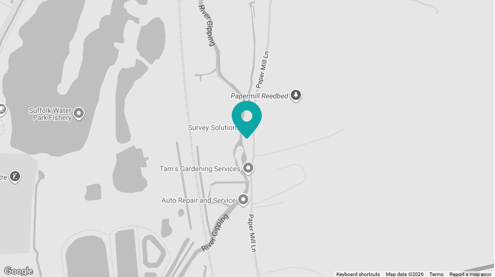
Click map for directions