Land Surveying
Commissioning a land survey is a vital start to a broad spectrum of projects – and it needs to be conducted quickly, accurately and to deliver as much data as possible to inform the next step.
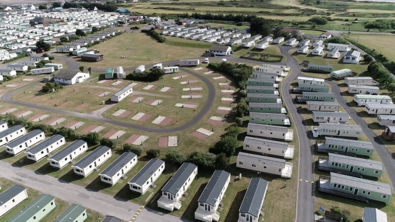
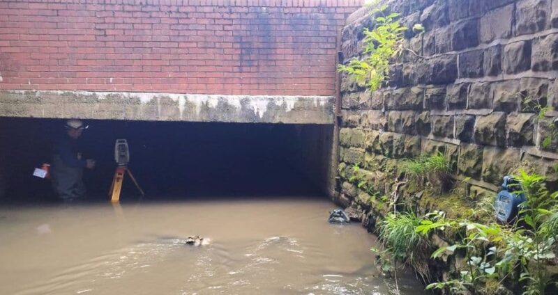
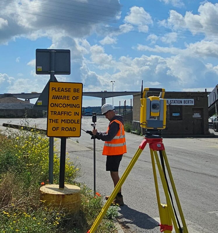
At Survey Solutions, we have extensive experience of carrying out geomatic surveys, across a range of sectors and for all sizes of project. Harnessing the latest survey technology means we can deliver data quickly, in detail and in different formats.
With our ‘toolbox’ approach, we will advise on the most effective way to achieve your objectives, assessing all relevant factors before starting work.
Our team will then conduct the survey, capturing accurate and detailed data delivered in the optimum format for your project – and providing you with the highest quality output for which we have become known in the industry.
Land Surveying Services
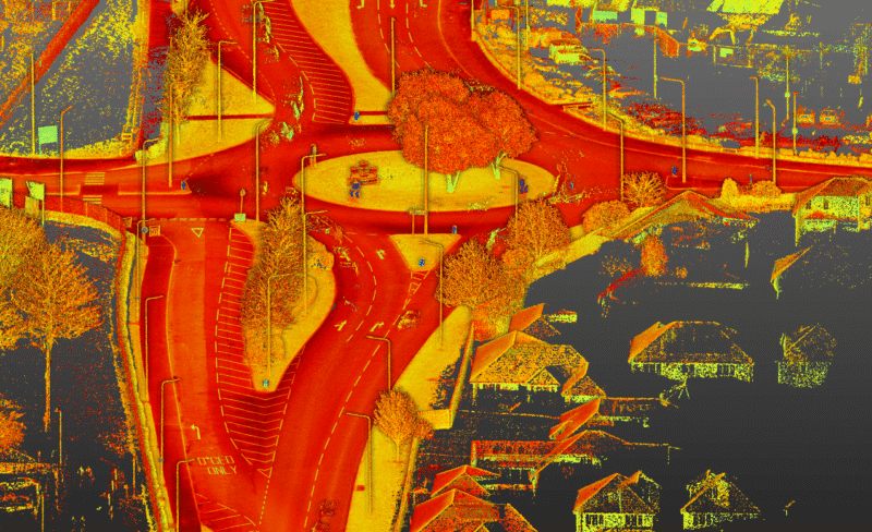
LiDAR Survey
Discover High-precision LiDAR surveys from Survey Solutions for construction and infrastructure projects. Fast, accurate, and UK-wide.
Read moreMobile Mapping
Our mobile mapping surveys can cover up to 20km in one day. Each survey can provide various data formats and survey information.
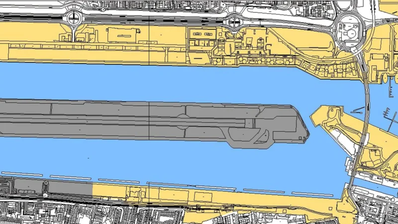
Read moreTopographic Survey
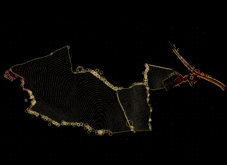
Our topographic survey gives you a detailed accurate representation of your site’s physical terrain and hard and soft features above ground.
Read more
Our Latest Land Surveying Projects
Make an Enquiry
"*" indicates required fields
