Supporting the Regeneration of Ramsgate’s Royal Harbour
Published on by James Wyllie
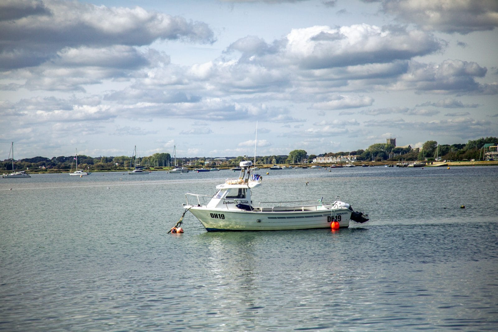
With a £19.8 grant, Thanet District Council is revitalising Ramsgate’s Royal Harbour and town with the aim of improving infrastructure, creating community spaces and boosting tourism and local business. As part of this vast regeneration project, Survey Solutions was asked to carry out an extensive topographical, utility and drainage survey of the harbour and pier.
Thanet District Council is revitalising Ramsgate’s Royal Harbour and town with £19.8 of government funding. The aim is to improve infrastructure and create community spaces whilst boosting tourism and local business.
As part of this vast regeneration project, Survey Solutions carried out an extensive topographical, utility and drainage survey of the harbour and pier.
Understanding the Royal Harbour
The surveys were commissioned for two key purposes. Ramsgate’s fishing fleet has a long history, but no facility to process its catch at the harbour. The council is planning a new processing facility, removing the need to ship catches to Brixham in Devon. Up-to-date information on underground utilities and drainage was needed, to inform the decision on a suitable location for the new building.
Precise topographical data was also needed to transform the Pier Yard car park into a new pedestrianised town square for markets and outdoor events.
Tackling a complex environment
Surveying the 380,000 plus m² site was no small task. A team of four surveyors spent three weeks on location, mapping the harbour, pier, pontoons and surrounding roads. A detailed map of the site was drawn up first, noting the manhole covers, utilities and drainage that surveyors would need.
The utility and drainage surveys were carried out using electromagnetic location equipment and ground-penetrating radar, capturing every square metre with accuracy.
The working harbour has active fishing fleets, Border Force operations, a lifeboat station, and frequent large lorries alongside a range of other harbour users. Navigating the live harbour environment required robust safety and logistical planning. The team worked closely with the harbour master, following important safety guidelines. Traffic management ensured heavy vehicles could move around safely.
Delivering value
Once the surveys were completed, the data was processed and detailed drawings finalised in a number of formats. These were overlaid with statutory records to fill any gaps and add detail. These gave the council and design partners a clear understanding of the site’s underground infrastructure and topography.
“The mapping project has been really useful. Our main objectives were to confirm a suitable site for the new fishing facilities and capture topological and services data for Pier Yard development. I’m pleased to say that we’ve achieved those. The Harbour team also now has information they can use for future projects. The data identified potential issues with drainage that the design team can take into consideration, meaning we can avoid potential problems as the development progresses. I’ve worked with Survey Solutions previously and have been pleased with the outcome. The team is incredibly responsive and quick to complete surveys and return drawings.”
Assistant PM for Regeneration , Thanet District Council


