Drones for Land
Drones for Land Surveying
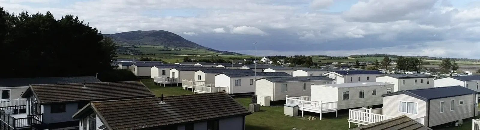
A cost-effective solution for projects that include agricultural inspections, quarries, landfills, traffic surveys, or large-scale development, our drone land surveying services can be used for quick and effective data gathering. Also known as UAV surveys, this is an increasingly popular method because of its versatility in data capture on projects and can minimise the time needed on site.
Key advantages of choosing drone surveying for land and development projects are the speed with which large areas can be surveyed, access to otherwise inaccessible areas, and navigating restrictions on heritage projects.
Both 2D and 3D data formats are available, and additional options include point cloud data, ortho-rectified photography, and fly-over video footage.
Our highly experienced drone survey team fully complies with the Civil Aviation Authority regulations for Remotely Piloted Aircraft Systems and will ensure you receive a high level of technical detail to support your project.
Can I use a drone survey for my project?
Aerial drone surveying can be an excellent choice for many projects, depending on your location and needs. Recent improvements in the quality of data and storage, as well as their increased battery life, have also driven increased use of drones in surveys. Our team will be able to advise you when you contact us. Drone surveys can also be combined with our other traditional surveying methods, including Hydrographical and Measured Building Surveys.
Make an Enquiry
"*" indicates required fields


