Land and Utility Surveyors in Yeovil
Survey Solutions’ Yeovil office supports projects across Yeovil, Somerset, Dorset, Devon, Cornwall and the wider South West. Our local team provides accurate land surveys, measured building surveys, underground utility surveys, drone surveys, monitoring and site engineering support for residential, commercial, infrastructure, heritage, coastal, rural and public-sector projects. Whether you are planning a new development, refurbishing an existing asset or preparing a complex site for construction, we provide reliable survey data to support confident decisions.
Survey services from our Yeovil office
Our Yeovil office provides a wide range of survey services for projects across Somerset, Dorset and the wider South West. These include topographical surveys, measured building surveys, underground utility surveys, UAV/drone surveys, laser scanning, monitoring and site engineering. Each survey is tailored to the site conditions, project stage and required deliverables, helping clients obtain accurate information for planning, design, construction and asset management.
Topographical surveys for Somerset, Dorset and South West sites
Topographical surveys capture accurate information about site levels, boundaries, features, drainage, vegetation, access, structures and surrounding context. Our Yeovil surveyors can support rural sites, coastal locations, residential developments, highways, commercial estates, public-sector land, infrastructure corridors and heritage settings. This information gives architects, engineers, planners and contractors a reliable base before design or construction work begins.
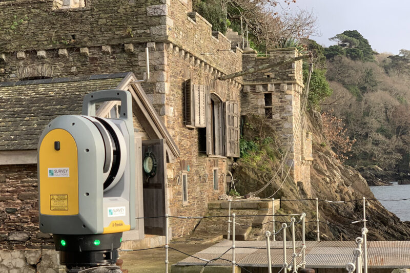
Measured building surveys for heritage, rural and commercial properties
Measured building surveys help project teams understand existing properties before refurbishment, conservation, extension, redevelopment, fit-out or asset management. Our Yeovil office can provide floor plans, elevations, sections, roof plans, point-cloud data and 3D outputs depending on the brief. These surveys are useful for heritage buildings, rural estates, schools, commercial properties, residential assets and public-sector buildings across the South West.
Underground utility surveys for development and infrastructure projects
Before excavation, drainage design, new service connections, highways works or redevelopment, it is important to understand buried utilities. Our Yeovil team can provide underground utility surveys to help locate and map services. Where required, survey scopes can be aligned with PAS 128 to support safer planning, clearer design coordination and reduced below-ground risk.
Drone, monitoring and site engineering support
Our Yeovil office can support UAV/drone surveys, monitoring and site engineering requirements across South West projects. Drone surveys can be particularly useful for large rural sites, coastal environments, roofs, quarries, infrastructure corridors and difficult-to-access locations. Monitoring and site engineering services can support construction, asset management and phased works where accurate repeatable data is required.
Supporting projects across Somerset, Dorset and the South West
The South West includes a broad range of project environments, from rural and coastal sites to towns, highways, public-sector estates, heritage buildings and residential growth areas. Our Yeovil office can help clients plan survey work around access, terrain, utilities, environmental constraints, programme requirements and deliverables. Local survey support helps ensure the information collected is relevant to the project’s setting and intended use.
Survey support for rural, coastal, heritage and infrastructure sites
Rural, coastal, heritage and infrastructure projects often require carefully planned survey work. Access routes, terrain, weather, environmental constraints, building age, buried services and programme requirements can all influence survey methodology. Our Yeovil team can tailor the approach to the site, helping clients capture accurate data while managing practical constraints.
What information should you provide before booking a survey?
It is useful to provide the site address, boundary plan, existing drawings, project stage, reason for the survey, required deliverables, preferred file formats, access details and any known hazards or constraints. If you are not sure what type of survey you need, our Yeovil team can review your brief and advise on a suitable scope.
What deliverables can our Yeovil survey team provide?
Depending on the scope, deliverables can include CAD drawings, 3D models, measured building outputs, point-cloud data, underground utility drawings, monitoring reports, drone survey outputs, site engineering information and other agreed formats. We confirm requirements at the start so the information can be used efficiently by your designers, engineers, contractors or asset team.
Speak to our Yeovil survey team
Contact the Yeovil office if you need survey support in Yeovil, Somerset, Dorset, Devon, Cornwall or the wider South West. Send us your site details, scope or tender pack and we will advise on the most suitable survey services and next steps.
Talk to us…
Get through to one of our specialists to help you with your project.
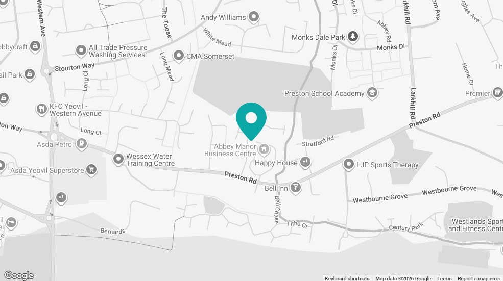
Yeovil office
Survey Solutions
The Thatched Office, Abbey Manor Business Centre
Preston Road
Yeovil
Somerset
BA20 2EN
Directions
01935 848528
Click map for directions


