Land and Utility Surveyors in Nottingham
Survey Solutions’ Nottingham office supports projects across Nottingham, Derby, Leicester, Lincoln and the wider East Midlands. Our local team provides accurate land surveys, measured building surveys, underground utility surveys, drone surveys, monitoring and site engineering support for infrastructure, commercial, residential, education, public-sector and environmental projects. From river and drainage schemes to campus, highway and development sites, we provide reliable survey data to support confident planning, design and delivery.
Survey services from our Nottingham office
Our Nottingham office provides a full range of survey services for projects across the East Midlands. These include topographical surveys, measured building surveys, underground utility surveys, UAV/drone surveys, laser scanning, monitoring and site engineering. Each survey is scoped around the site conditions, project stage and required deliverables, giving architects, engineers, developers, contractors and public-sector teams the information they need.
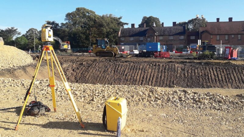
Topographical surveys for Nottingham and East Midlands sites
Topographical surveys capture accurate information about levels, boundaries, structures, drainage, access, vegetation, hardstanding and surrounding context. Our Nottingham surveyors can support residential developments, highways, drainage schemes, river corridors, commercial sites, education estates, infrastructure projects and public-sector land. This data provides a reliable base for feasibility, planning, engineering design and construction preparation.
Measured building surveys for refurbishment and asset management
Measured building surveys help project teams understand existing buildings before refurbishment, redevelopment, extension, fit-out or asset management. Our Nottingham office can provide floor plans, elevations, sections, roof plans, point-cloud data and 3D outputs depending on the project requirements. These surveys are useful for universities, schools, public-sector buildings, commercial properties, residential assets and heritage sites.
Underground utility surveys for safer site works
Buried services can affect design, excavation, drainage, highways and construction work. Our Nottingham team can provide underground utility surveys to help locate and map services before works begin. Where required, survey scopes can be aligned with PAS 128 to support clearer risk management, design coordination and safer site planning.
Drone, monitoring and site engineering support
Our Nottingham office can support UAV/drone surveys, monitoring and site engineering services where projects require aerial capture, movement tracking or construction-stage survey input. These services can support river, drainage, highways, development, infrastructure and campus projects where accurate repeatable data is needed throughout the programme.
Supporting projects across Nottingham and the East Midlands
The East Midlands includes a wide variety of project environments, from city-centre regeneration and university campuses to drainage corridors, highways, commercial estates, housing developments and environmental schemes. Our Nottingham office can help clients plan survey work around access, safety, site constraints, programme deadlines and technical deliverables. This regional capability helps ensure that survey information supports the practical needs of each project.
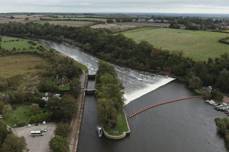
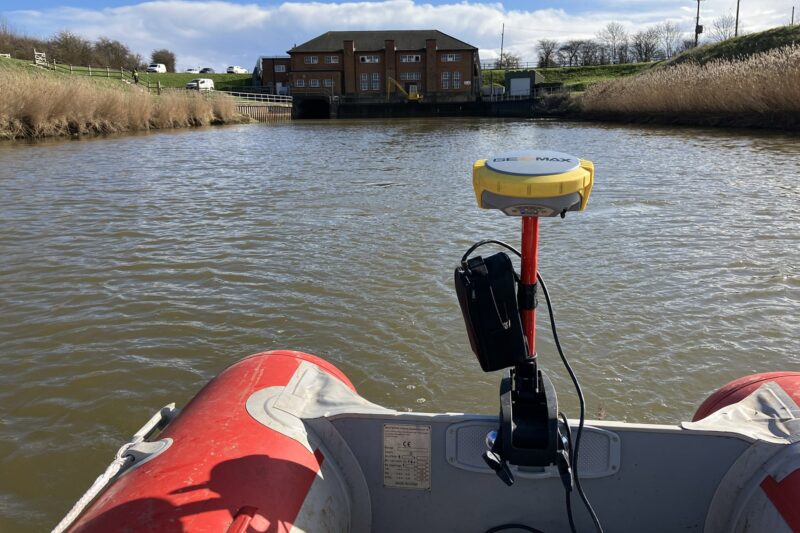
Survey data for river, drainage, education and infrastructure schemes
River, drainage and infrastructure projects often require accurate levels, structures, channels, utilities and surrounding context. Education and campus projects may require measured building data, topographical surveys and careful access planning around live environments. Our Nottingham team can tailor survey scopes to support each of these sectors, producing outputs that are useful for engineers, designers, contractors and asset owners.
Do we provide utility and measured building surveys in Nottingham?
Yes. Our Nottingham office can provide underground utility surveys, measured building surveys and combined survey packages where projects require information about both buildings and below-ground services. This is particularly useful for refurbishment, redevelopment, drainage, highways, campus, commercial and public-sector projects where accurate existing information is needed before design or works begin.
How can survey data support East Midlands development projects?
Reliable survey data helps project teams understand site constraints before they affect design, cost or programme. Levels, boundaries, drainage, utilities, building dimensions, access and surrounding features can all influence project decisions. By commissioning appropriate survey work early, clients can reduce assumptions, improve coordination and support safer, more efficient project delivery.
Speak to our Nottingham survey team
Contact the Nottingham office if you need survey support across Nottingham, Derby, Leicester, Lincoln or the wider East Midlands. Send us your site details, scope or tender information and we will advise on the most suitable survey services and deliverables.
Talk to us…
Get through to one of our specialists to help you with your project.
Recent Projects from the Nottingham Survey Team
Nottingham office
Survey Solutions
6 Farrington Way, Eastwood Link Business Park
Nottingham
NG16 3BF
Directions
01773 714733
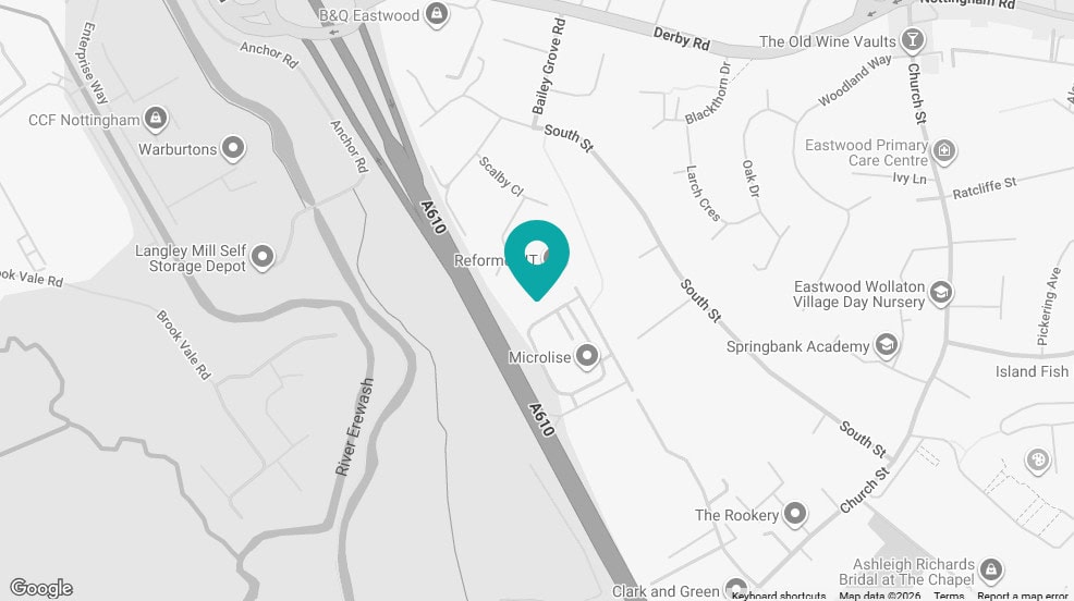
Click map for directions


