Land and Utility Surveyors in Newcastle
Survey Solutions’ Newcastle office supports projects across Newcastle upon Tyne, Gateshead, Sunderland, Durham, Northumberland and the wider North East. Our local team provides accurate land surveys, measured building surveys, underground utility surveys, drone surveys, monitoring and site engineering support for commercial, residential, infrastructure, education, public-sector and regeneration projects. From feasibility and planning through to construction and asset management, we help project teams understand their sites clearly before work begins.
Survey services from our Newcastle office
Our Newcastle office provides a wide range of survey services for projects across the North East. These include topographical surveys, measured building surveys, underground utility surveys, UAV/drone surveys, laser scanning, monitoring and site engineering. Each survey is scoped to suit the site, project stage and required deliverables, giving architects, engineers, contractors, developers and asset owners reliable information for decision-making.
Topographical surveys for Newcastle, Tyneside and North East projects
Topographical surveys capture accurate information about site levels, boundaries, buildings, structures, access routes, drainage, vegetation, hardstanding and surrounding features. Our Newcastle surveyors can support regeneration sites, infrastructure schemes, commercial developments, housing projects, education estates, public-sector land and rural or coastal locations across the North East. This data helps project teams move forward with a reliable base for planning, design and construction.
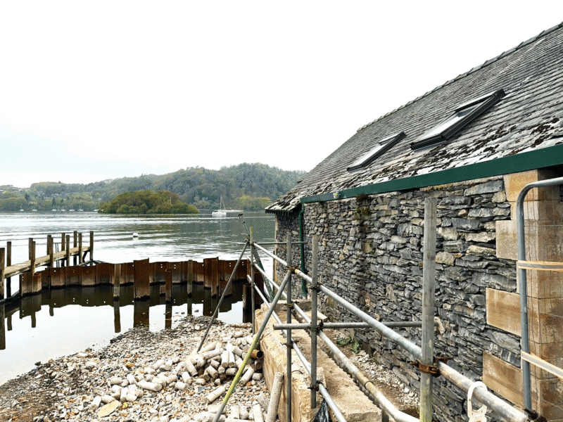
Measured building surveys for existing buildings and estates
Measured building surveys provide accurate information about existing buildings before refurbishment, redevelopment, extension, fit-out or asset management work. Our Newcastle team can produce floor plans, elevations, sections, roof plans, point-cloud data and 3D outputs depending on the scope. These surveys are useful for commercial properties, education buildings, public-sector estates, heritage assets, residential buildings and mixed-use developments.
Underground utility surveys for safer design and excavation
Before excavation, drainage design, new connections or redevelopment, it is important to understand buried services. Our Newcastle office can provide underground utility surveys to help identify, trace and map utilities across development, infrastructure, highways and public-sector sites. Where required, survey scopes can be aligned with PAS 128 to support clearer below-ground risk management.
Drone, monitoring and site engineering support
Our Newcastle team can support UAV/drone surveys, monitoring and site engineering services where projects require aerial capture, repeat measurements or construction-stage survey input. Drone surveys can be useful for large or difficult-to-access sites, monitoring can track movement or change, and site engineering services can support setting out and verification during construction.
Supporting projects across Newcastle, Tyneside and the North East
The North East includes a mix of city-centre regeneration, industrial land, coastal locations, transport corridors, education campuses, public-sector estates, residential growth and infrastructure projects. Our Newcastle office can help clients plan survey work around access, safety, utilities, programme and deliverable requirements. Local survey support helps ensure that the information collected reflects the practical needs of projects in the region.
Survey data for regeneration, infrastructure and public-sector schemes
Regeneration, infrastructure and public-sector projects often need accurate survey data before funding, design, planning or construction decisions are made. Topographical information, building measurements, underground utilities and monitoring data can all influence project feasibility and delivery. Our Newcastle team can provide the right combination of services to support each project stage.
Can our Newcastle team support constrained urban sites?
Yes. Urban sites can involve limited access, neighbouring properties, public highways, live buildings, utilities, security requirements and restricted working hours. Our Newcastle team can review these constraints before attending and plan an appropriate survey methodology. This helps capture the required data safely and efficiently while reducing disruption to the site and surrounding area.
What should you include in a Newcastle survey enquiry?
It is helpful to provide the site address, boundary plan, project stage, reason for the survey, required deliverables, preferred file formats, access details and any known site constraints. If you are not sure which survey services are required, our team can review your brief and advise on a suitable scope.
Speak to our Newcastle survey team
Contact the Newcastle office if you need survey support in Newcastle upon Tyne, Gateshead, Sunderland, Durham, Northumberland or the wider North East. Send us your project details and we will advise on the most suitable survey services and next steps.
Talk to us…
Get through to one of our specialists to help you with your project.
Newcastle office
Survey Solutions
2 St James’ Gate
Newcastle upon Tyne
NE1 4AD
Directions
0191 250 8415
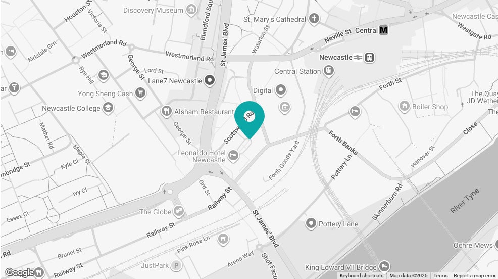
Click map for directions


