Land and Utility Surveyors in Bristol
Survey Solutions’ Bristol office supports projects across Bristol, Bath, Avon, Gloucestershire, Wiltshire, Somerset and South Wales. Our local survey team works with architects, engineers, developers, contractors, utilities, infrastructure providers and public-sector organisations that need reliable measured survey data before design, planning, construction or asset works begin. From city-centre refurbishments and commercial developments to highways, utilities, residential schemes and public-sector estates, we provide accurate land, measured building, underground utility, drone, monitoring and site engineering surveys.
Survey services from our Bristol office
Our Bristol office provides a broad range of surveying services to support projects from early feasibility through to construction and asset management. These services include topographical surveys, measured building surveys, underground utility surveys, UAV/drone surveys, laser scanning, monitoring and site engineering. Each survey can be tailored to the site, design stage and deliverables required, helping project teams obtain clear, usable information before important decisions are made.
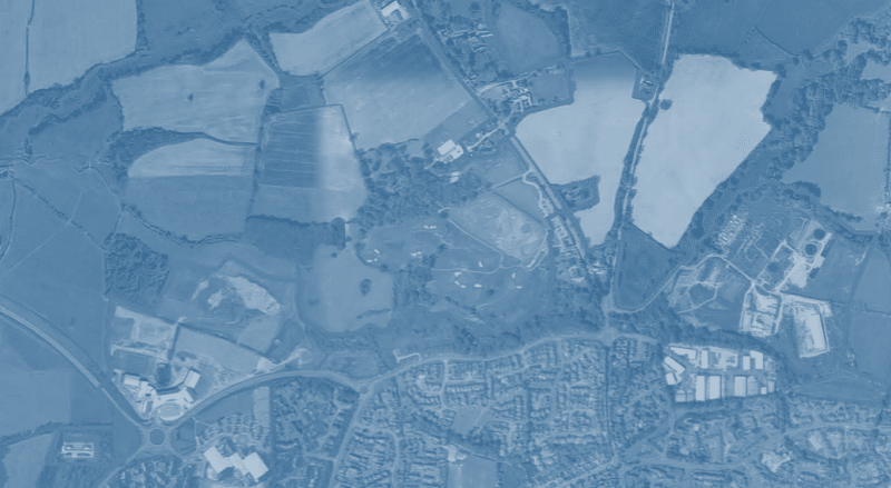
Topographical surveys for Bristol and South West development sites
Topographical surveys provide the base information that architects, engineers and planners need to understand a site. Our Bristol team can capture site levels, boundaries, structures, hardstanding, vegetation, drainage, access points, street furniture and surrounding detail across urban, rural, commercial, infrastructure and redevelopment sites. Accurate topographical data helps reduce uncertainty before planning, design coordination, groundworks or construction activity begins.
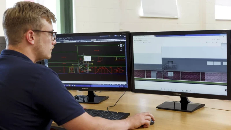
Measured building surveys for existing properties and estates
Bristol, Bath and the wider South West include a wide mix of modern, historic, commercial, residential and public-sector buildings. Our measured building surveys help clients understand existing assets before refurbishment, conversion, extension or redevelopment. Depending on the project, we can provide floor plans, elevations, sections, roof plans, point-cloud data and 3D outputs that support architects, estates teams, contractors and consultants.
Underground utility surveys for safer planning and excavation
Before excavation, drainage design, new services, site redevelopment or infrastructure works, it is important to understand what may be below ground. Our Bristol team can provide underground utility surveys to help locate, trace and map buried services. Where required, survey scopes can be aligned to PAS 128 to support clearer risk management, design coordination and safer site works.
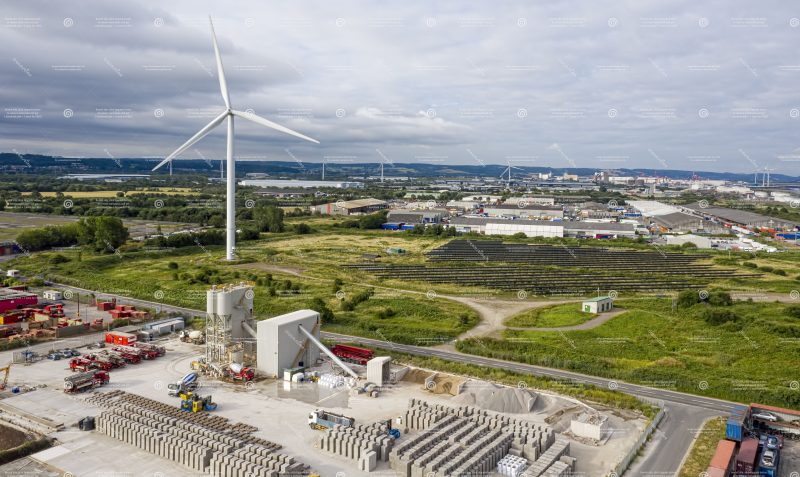
Drone, monitoring and site engineering support
For sites that require aerial data, movement monitoring or construction-stage survey input, our Bristol office can provide UAV/drone surveys, monitoring and site engineering support. These services can help capture large or hard-to-access areas, track site change, support setting out and provide reliable information during construction. They are particularly valuable on infrastructure, commercial, highways, energy and phased development projects.
Supporting projects across Bristol, Bath, Avon and the South West
Our Bristol office is well placed to support projects throughout the South West and into South Wales. The region includes dense urban development, heritage buildings, major transport routes, ports, utilities, residential growth areas and rural sites, each with different survey requirements. By combining local response with national capability, our team can help clients plan the right survey approach for both small sites and complex multi-disciplinary programmes.
Regional project experience across varied site types
Survey requirements can vary significantly between a city-centre building, a public-sector estate, a residential development, a leisure facility, a port-side site or a highway corridor. Our Bristol team can tailor the methodology and outputs to suit the constraints of each site, including access, safety, deliverable formats, programme deadlines and coordination with other consultants.
How our Bristol team supports design and construction teams
We help design and construction teams by providing survey information that is accurate, clearly presented and suitable for the next project stage. Early survey data can inform feasibility studies, planning drawings, design coordination, clash identification, tender packs, construction setting out and as-built records. By confirming requirements at the start, our Bristol office helps ensure the data produced is useful to the architects, engineers, contractors and stakeholders who need it.
What deliverables can we provide for Bristol projects?
Depending on the agreed scope, we can provide 2D CAD drawings, 3D models, point clouds, measured building outputs, utility survey drawings, monitoring reports, Revit-ready information, site engineering data and other deliverables required by the project team. We will confirm formats, levels of detail, coordinates, output requirements and timescales before work begins so that the survey information can be used efficiently.
Speak to our Bristol survey team
Contact the Bristol office if you need survey support in Bristol, Bath, Avon, Gloucestershire, Wiltshire, Somerset or South Wales. Send us your site address, boundary, scope or tender information and we will advise on the most suitable survey services and next steps.
Talk to us…
Get through to one of our specialists to help you with your project.
Recent Projects from the Bristol Survey Team
Bristol office
Survey Solutions
33 Colston Avenue
Bristol
BS1 4UA
Directions
0117 403 7169
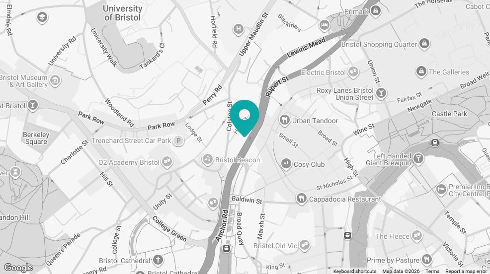
Click map for directions


