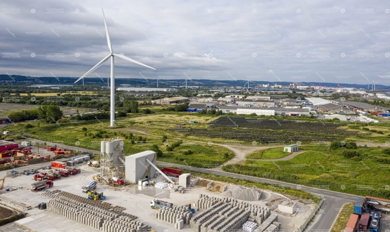
Topographic Survey
How do you carry out Topographic Surveys?
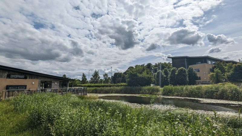
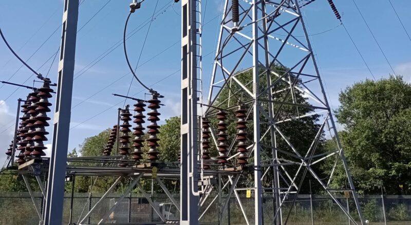
Get an accurate and detailed representation of your site layout including all physical hard and soft features above ground. These features can include, but not limited to, roads, street furniture, buildings, tree locations and boundary demarcations such as fences and walls.
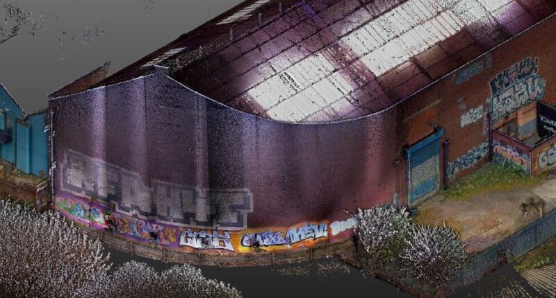
Our teams have extensive experience with highly specialised survey equipment including drones. They will measure height and position of natural and man-made topographic features of a site. Using skills in the latest technology post-survey the team can provide the results of the survey in 2D and 3D formats as standard. Our client feedback confirms the level of detail we provide always exceeds expectations.
Should my project have a Topographic Survey?
A Topographic survey is usually the foundation for underground investigations and utility surveys and used in conjunction with the start of the construction phase of the project or with measured building surveys.
We can also provide survey data for much smaller projects such as garden adaptations and extensions. We welcome enquiries for home projects to industry needs: For us, no survey is too big or too small.
How much will a topographic survey cost?
The cost scales depending on the complexity and we will be happy to offer our advice of the most cost-effective options. Our specialist surveyor teams carry out a variety of terrain surveys across a broad range of project sectors.
What’s your Topographic Survey experience?
Our experience encompasses large-scale land surveys for major infrastructure projects, housebuilding developments and we have even completed a project where we surveyed half of an existing UK town to support a local council planning application!