Flood Risk Data Updates: How Surveys can Help
Published on by James Wyllie
Over the last 18 months, the Environment Agency has been rolling out new national flood and coastal erosion risk information, alongside updated surface water datasets and planned changes to the Flood Map for Planning service. If you are planning, designing, or building on land where water is a known risk, these updates matter. They can influence what your Flood Risk Assessment needs to address, how you shape your drainage strategy, and how confident you feel in a site layout before you submit. In this blog, we break down what has changed and, more importantly, where Survey Solutions adds value with survey-grade evidence that helps you move faster and reduce risk.
What’s changed in the Environment Agency’s flood and coastal risk data
1) Surface water datasets were updated in January 2026
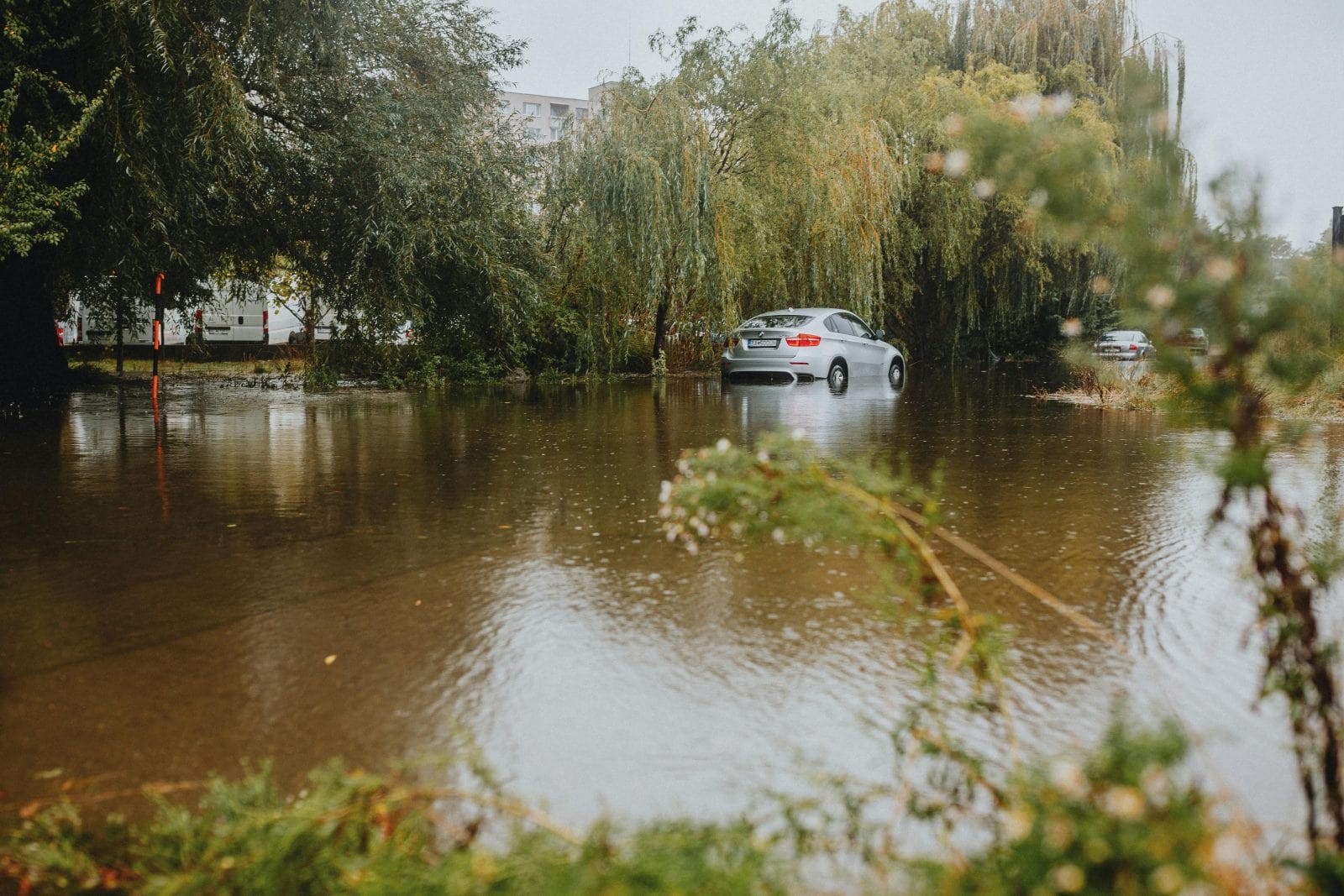
Surface water flooding is often the issue that causes the biggest surprises on site. The Environment Agency’s Risk of Flooding from Surface Water datasets were updated on 16 January 2026, with clearer ways to assess water might be, how deep it could get, how dangerous it could be, and where it’ll likely flow.
The Environment Agency’s surface water flood data groups risk into three easy likelihood bands, High with a 1 in 30 annual chance, Medium with less than 1 in 30, and Low with less than 1 in 100 but at least 1 in 1000. It then adds more practical layers to show what that risk could look like on the ground: depth thresholds at 0m (flood extent) to 1.2m; hazard ratings that combine depth and speed, with separate layers at 0 (flood extent) to 2; and flow direction layers that indicate where water is likely to travel at maximum speed during a flood, split by the 1 in 30, 1 in 100 and 1 in 1000 scenarios.
2) National flood risk and coastal erosion mapping is being refreshed and expanded
The Environment Agency’s new national flood risk assessment (NaFRA) is designed to provide a single picture of current and future flood risk from rivers, sea and surface water. It also includes the potential impact of climate change and shows potential flood depths.
On the coastal side, the new National Coastal Erosion Risk Map (NCERM) is positioned as the most up to date national picture of coastal erosion risk for England. It is based on coastal monitoring data, including 10 years more evidence on coastal processes since the original map was published, and it accounts for UK climate projections.
The EA has also flagged that data formats and structures have changed. If you are a regular user of data published on the Defra Data Services Platform, you may need to update your processing steps.
3) Flood Map for Planning changes are coming
Industry guidance notes that further improvements to the Flood Map for Planning service were planned for 29 January 2026, but were delayed, with users advised to continue using published datasets and existing guidance until further notice.
It also notes planned additions including new surface water climate change extents and banded depth layers, intended to reduce the need for planners and developers to rely on surface water flood risk information via the Check Your Long-Term Flood Risk service.
Why this matters on real sites
National models are vital. They’re a strong starting point for constraints mapping and early-stage decision making.
But the moment a project gets serious, one question becomes unavoidable: How does this risk behave on our site, with our levels, our drainage, and our layout?
Surface water flooding is especially sensitive to local detail:
- Small changes in levels can change flow paths
- Kerb lines, thresholds, low spots, and pinch points can concentrate flows
- Existing drainage features can be missing, blocked, or mislocated on records
- Construction sequencing can temporarily create new risks
This is where survey-grade reality makes the difference between a design that looks fine on paper and one that performs on the ground.
How Survey Solutions helps with flood risk
When flood and coastal risk layers are updated, the best response is not panic. It’s to gain data and evidence.
Survey Solutions helps you create a defensible, survey-grade baseline that supports Flood Risk Assessments, drainage design, and planning submissions.
Topographic surveys that support Flood Risk and drainage design
A topo survey provides the accurate site levels needed to:
- Build a reliable surface model
- Identify true low points and overland flow paths
- Support cut and fill decisions and finished floor levels
- Confirm falls, gradients, and constraints for SuDS and drainage layouts
Typical outputs can include spot levels, contours, breaklines, and CAD deliverables that slot straight into your design workflow.
Drone surveys for fast coverage and clear context
On large or complex sites, drone surveys can provide:
- Rapid data capture over big areas
- High-detail imagery
- Terrain modelling to support early drainage thinking
This is particularly useful when you need to understand how water might move across the wider catchment around your red line boundary.
Monitoring that supports risk management during construction and operation
Where risk is sensitive, changeable, or coastal, monitoring can provide reassurance:
- Repeat surveys to track movement or change over time
- Targeted monitoring on slopes, embankments, or sensitive assets
- Evidence for stakeholders when site conditions shift
Utilities and drainage surveys to reduce surprises
Surface water risk is rarely just about rain. It is also about what the drainage network can cope with.
Utilities and drainage surveys can help by:
- Locating key drainage assets
- Supporting condition assessment and connectivity understanding
- Reducing the chance of redesign when site reality does not match records
A simple checklist for your next project
If flood constraints are likely to be a factor, ask these questions early:
- Are we working from current flood and surface water datasets, including depth, hazard, and flow direction?
- Do we have survey-grade site levels that match the current design boundary and likely drainage routes?
- Have we checked how water moves across the wider catchment and not just within the site?
- Are drainage assets and key constraints verified on the ground, not just assumed from records?
- Do we need repeat surveys or monitoring during construction to manage change?
If the answer to any of these is “not yet”, a targeted survey scope can save weeks in your project down the line. Our team of expert surveyors can move rapidly across the UK to provide the engineering certainty you need to make informed decisions. If Survey Solutions could help with your project going forward, get in touch by making an enquiry below.


