Parkdean Resorts Drone Survey
Published on by Natalie Taylor-Clarke
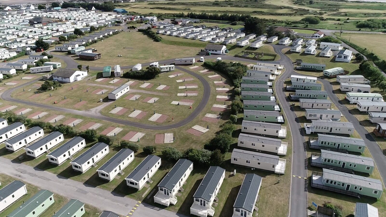
Survey Solutions delivered drone surveys across Parkdean Resorts’ UK sites—providing fast, detailed boundary data and ortho imagery for expansion planning.
When it required the best survey option to meet the various requirements of its project specification, Parkdean Resorts; the UK’s largest holiday park operator partnered with Survey Solutions to deliver a nationwide programme of drone surveys across its full portfolio of holiday parks in England, Scotland & Wales.
Drone Land Survey Provides Speedy Boundary Data
Drone surveys were chosen ahead of other traditional types of survey based on the speed in which the surveys could be carried out on-site as well as the detail and range of data that drone surveys provide.
Parkdean’s specification included updating the records it held for all its parks as well as gaining more information on the land outside of its boundaries as part of its future expansion plans. The variety and amount of data that drone surveys can provide was also helpful for use within Parkdean’s project meetings where video footage and ortho-rectified imagery could be presented rather than static site layouts.
Accurate Data With Less Time On-Site
The drone surveys also allowed for feasibility studies to be carried out on aspects of the parks which may be refurbished or extended with the data being used to support any additional work that was needing to be developed.
Many of the drone surveys have been completed during the Covid-19 pandemic and therefore using drones, which limited the amount of people and time on site was another advantage to Parkdean.
As part of this programme, Survey Solutions provided an array of survey data including 2D and 3D site plans, ortho-rectified imagery and video fly over footage.
“When we initially spoke to Survey Solutions, we hadn’t considered the use of drone surveys. However, the various advantages presented to us meant this was clearly the best route. We also wanted to partner with a national surveying company who could visit all sites to ensure the surveys were completed consistently rather than us having to deal with multiple survey companies at a regional level.”
Property Director, Parkdean


