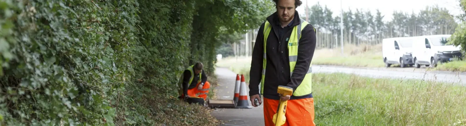
Utilities Survey
The useful data you will receive from a utilities survey minimises the need for any follow-on excavations
They’re also an excellent way to identify safe areas to carry out excavations, boreholes and piling. Early identification of any buried services ensures projects can progress smoothly throughout the entire design and build phase and reduce the risk of unplanned delays.
PAS 128 specification compliant survey
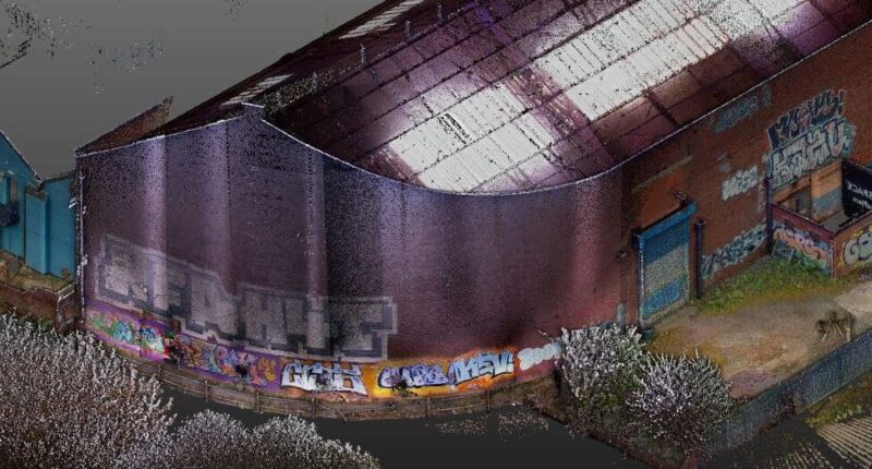
Underground utilities mapping provides a clear understanding of buried services and any potential hazards to the development. Our PAS 128 utilities surveys locate all mains services including electricity, sewers, gas and water mains, fibre optics, heating, lighting cables, communication networks and traffic signalling cables.
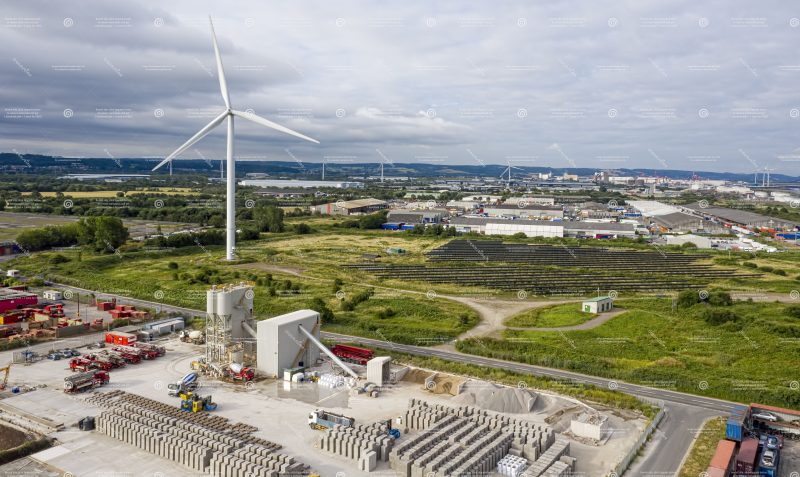
Survey Solutions have teams across the UK covering projects in all construction sectors. Our experience, and the scope of PAS 128 survey types we can provide, will help you with the data you need across industrial brownfield sites earmarked for major residential development, through to verifying existing underground records at wind farms in the Scottish Highlands.
How will a Utilities Survey benefit my project?
We will identify, trace and map of all major underground buried services, as a standalone utilities survey or as part of an integrated package that can include CCTV drainage, topographical or measured building survey depending on the project’s needs.
Your supplied results are PAS 128 specification compliant with additional statutory record services also available, and are overlaid onto a topographical survey prior to issuing in both CAD and PDF formats. Identifying and mitigating potential hazards and challenges at an early stage will allow your project to progress based on knowledge. We can plan the surveys to meet your timescales and offer potential cost-savings and consistency in the final drawings and output.